
Meeting the Rising Demands of T&D Construction: A Call for Smarter Solutions
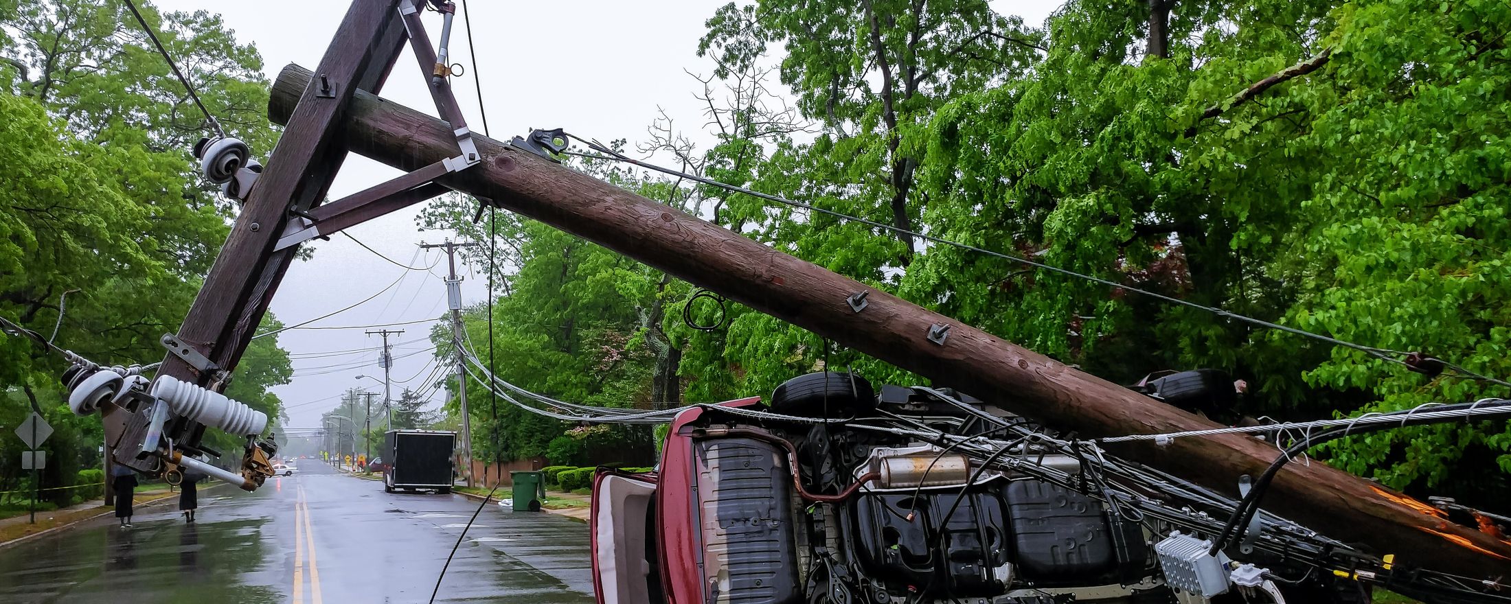
Utilities are facing a dramatic rise in transmission and distribution (T&D) construction activity. This growth is being fueled by several converging forces: the widespread electrification of homes and businesses—including heating, cooling, cooking, and EV charging—combined with efforts to underground critical infrastructure, storm hardening programs to mitigate weather risks, and ambitious grid modernization initiatives. Add to that the rapid expansion of EV infrastructure, surging demand from new manufacturing facilities, data centers, and AI hubs, and a historic influx of federal, state, and utility funding into the sector.
And critically, this dramatic increase in construction comes on top of utilities’ day-to-day workloads, including New Business projects and ongoing maintenance and repair/replacement activities.
More Work, More Data — And More Pressure on GIS
As utilities ramp up physical infrastructure projects, they also face increased data demands to support downstream systems like OMS, ADMS, DERMS, and other analytics platforms. These systems rely on highly accurate and timely data, maintained in GIS attribution fields. As a result, GIS editors are under growing pressure to manage a greater volume of work, with more complexity than ever before.
This surge has created a host of new challenges. GIS editors are now spending more time managing the intake and processing of an expanding number of work order folders. Many of these include handwritten field notes on paper As-Built documents, which are time-consuming to locate and often difficult to interpret. These “Where’s Waldo” exercises are only becoming more common, especially as field crews—many of them contractors unfamiliar with utility standards—submit inconsistent documentation.
In addition, GIS editors must ensure that newly installed or replaced assets are accurately placed and fully connected within the GIS Connectivity Model. Each asset must be attributed correctly to meet the data requirements of downstream systems. And with the growing number of assets being installed, editors are also burdened with repetitive, work order–specific data entry tasks that further slow the editing process.
As the volume of work increases, so does the risk of ever growing backlogs. The time it takes to locate and edit new assets has ballooned, and the number of attributes required per asset has significantly extended update timelines. This strain on GIS processes degrades the accuracy and timeliness of new asset visibility in critical operational systems such as OMS and ADMS.
The consequences are far-reaching. Delayed or missing asset data can result in inaccurate switching orders, incorrect Estimated Times of Restoration (ETRs), and declining Reliability Indexes—all of which affect Regulatory oversight. Moreover, these inefficiencies can drive up Construction Work in Progress (CWIP) and Allowance for Funds Used During Construction (AFUDC), by causing significant delays in processing and Unitizing newly installed assets into the System of Record, negatively impacting the utility’s financial health.
A Better Way: Locusview's Digital Construction Management (DCM)
Locusview’s Digital Construction Management (DCM) solution offers a powerful answer to these challenges by modernizing the way data flows from the field into GIS and operational systems.
Rather than relying on manual, paper-based handoffs, DCM enables completed field activities to be digitally transmitted to the GIS staging area within minutes of work order completion and approval. This eliminates the delays often introduced by the traditional process of routing work orders through supervisors before reaching GIS staff—a process that can add days, weeks, or even months to Work Order timelines.
Once in the GIS Digital staging area, all completed work orders are available for prioritization and assignment by GIS supervisors. This allows critical projects to be addressed first, while less urgent work can be scheduled without disrupting operations.
When a GIS editor selects a work order from the GIS Digital staging area, they open a fully-versioned edit session where all new or modified assets are already displayed, properly connected, and fully attributed. Every piece of data associated with the work order is preloaded, allowing the editor to focus entirely on cartographic refinement and spatial accuracy. There is no need to hunt down paper notes or manually transcribe field data.
By streamlining asset placement and automating attribution, DCM dramatically reduces the time and effort required for GIS updates. The result is faster asset visibility in operational systems, higher data quality, improved compliance and reporting, and better overall financial performance.
Meeting the Rising Demands of T&D Construction: A Call for Smarter Solutions
Utilities are facing a dramatic rise in transmission and distribution (T&D) construction activity. This growth is being fueled by several converging forces: the widespread electrification of homes and businesses—including heating, cooling, cooking, and EV charging—combined with efforts to underground critical infrastructure, storm hardening programs to mitigate weather risks, and ambitious grid modernization initiatives. Add to that the rapid expansion of EV infrastructure, surging demand from new manufacturing facilities, data centers, and AI hubs, and a historic influx of federal, state, and utility funding into the sector.
And critically, this dramatic increase in construction comes on top of utilities’ day-to-day workloads, including New Business projects and ongoing maintenance and repair/replacement activities.
More Work, More Data — And More Pressure on GIS
As utilities ramp up physical infrastructure projects, they also face increased data demands to support downstream systems like OMS, ADMS, DERMS, and other analytics platforms. These systems rely on highly accurate and timely data, maintained in GIS attribution fields. As a result, GIS editors are under growing pressure to manage a greater volume of work, with more complexity than ever before.
This surge has created a host of new challenges. GIS editors are now spending more time managing the intake and processing of an expanding number of work order folders. Many of these include handwritten field notes on paper As-Built documents, which are time-consuming to locate and often difficult to interpret. These “Where’s Waldo” exercises are only becoming more common, especially as field crews—many of them contractors unfamiliar with utility standards—submit inconsistent documentation.
In addition, GIS editors must ensure that newly installed or replaced assets are accurately placed and fully connected within the GIS Connectivity Model. Each asset must be attributed correctly to meet the data requirements of downstream systems. And with the growing number of assets being installed, editors are also burdened with repetitive, work order–specific data entry tasks that further slow the editing process.
As the volume of work increases, so does the risk of ever growing backlogs. The time it takes to locate and edit new assets has ballooned, and the number of attributes required per asset has significantly extended update timelines. This strain on GIS processes degrades the accuracy and timeliness of new asset visibility in critical operational systems such as OMS and ADMS.
The consequences are far-reaching. Delayed or missing asset data can result in inaccurate switching orders, incorrect Estimated Times of Restoration (ETRs), and declining Reliability Indexes—all of which affect Regulatory oversight. Moreover, these inefficiencies can drive up Construction Work in Progress (CWIP) and Allowance for Funds Used During Construction (AFUDC), by causing significant delays in processing and Unitizing newly installed assets into the System of Record, negatively impacting the utility’s financial health.
A Better Way: Locusview's Digital Construction Management (DCM)
Locusview’s Digital Construction Management (DCM) solution offers a powerful answer to these challenges by modernizing the way data flows from the field into GIS and operational systems.
Rather than relying on manual, paper-based handoffs, DCM enables completed field activities to be digitally transmitted to the GIS staging area within minutes of work order completion and approval. This eliminates the delays often introduced by the traditional process of routing work orders through supervisors before reaching GIS staff—a process that can add days, weeks, or even months to Work Order timelines.
Once in the GIS Digital staging area, all completed work orders are available for prioritization and assignment by GIS supervisors. This allows critical projects to be addressed first, while less urgent work can be scheduled without disrupting operations.
When a GIS editor selects a work order from the GIS Digital staging area, they open a fully-versioned edit session where all new or modified assets are already displayed, properly connected, and fully attributed. Every piece of data associated with the work order is preloaded, allowing the editor to focus entirely on cartographic refinement and spatial accuracy. There is no need to hunt down paper notes or manually transcribe field data.
By streamlining asset placement and automating attribution, DCM dramatically reduces the time and effort required for GIS updates. The result is faster asset visibility in operational systems, higher data quality, improved compliance and reporting, and better overall financial performance.