Maria Ilac
Maria Ilac is the Gas GIS Supervisor at Puget Sound Energy, overseeing GIS development and maintenance for gas infrastructure data. She leads a team managing geospatial data, ensuring data integrity, and implementing GIS solutions, all to support safety and operational efficiency.
Brittany Burdelsky
Brittany is a Senior GIS Analyst at Puget Sound Energy. Her role involves providing technical services and GIS solutions to support business needs. With her expertise in GIS technology, Brittany contributes to the effective management of Puget Sound Energy's infrastructure and operations.
How Puget Sound Energy Digitized Gas Asset Traceability with Locusview
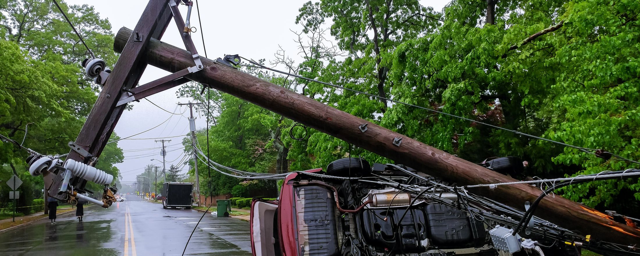
As Washington State’s oldest and largest utility, Puget Sound Energy (PSE) serves more than 1.5 million electric and natural gas customers. Our gas operations span thousands of miles of pipeline, much of it buried underground.
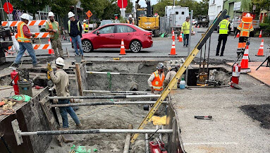
In recent years, we’ve been preparing for the Pipeline and Hazardous Materials Safety Administration’s (PHMSA) proposed changes to CFR Part 192, which require far more rigorous tracking of plastic pipe materials. We previously recorded the *who*, *what*, *when*, and *where* of every asset, including component types, installer identity, and manufacturer. Our digital construction implementation allowed PSE to get more granular with manufacturer lot/batch numbers and high-accuracy GPS locations of every asset. The implementation enforced required data entry, ensuring all of the necessary data is captured. Like many utilities, we realized our existing paper-based workflows simply weren’t going to cut it anymore.
A Tipping Point for Change
Before embarking on our digital transformation, our process looked like this: construction crews completed a job, then handed off paper job packets for back-office processing. It often took up to 120 days for updated information to be displayed in GIS. We also had issues locating gas assets using traditional methods like survey wheels to measure from landmarks, which can change over time (think centerlines and intersections, which may be moved over time).
Worse, our workflows weren’t aligned. Service lines were sometimes recorded before mainlines. Correction rates were high. And while our crews were doing great work in the field, the delay in in the post-construction process was becoming a concern for operational efficiency and safety. We knew complying with the proposed PHMSA ruling was also an opportunity to modernize by going digital and improving processes and data quality.
The Solution
We deployed Locusview’s Digital Construction Management (DCM) platform as the basis for digitizing our operations from the field to the office. As an Esri Gold Partner, Locusview integrates natively with our geospatial systems (ArcGIS, Smallworld) our asset system of record (SAP), and our construction document repository (OpenText).
Locusview allowed us to:
- Digitally capture high-accuracy GPS locations of all assets
- Enable our field crews to enter data in real-time via mobile devices
- Reduce human error through structured, guided workflows
- Generate digital as-builts and feed GIS updates within hours, not months
We weren’t just adding a new tool—we were transforming our culture and operations.
From 120 Days to 24 Hours
The impact was immediate and dramatic.
- Data is visible in GIS within 24 hours of job completion
- Data correction request rates dropped from an initial 42% at rollout to just 1.5% five months later
- Job packet processing time for services decreased from over 30 days to just three
- Crews feel empowered—seeing the data they collect in GIS systems almost immediately
Perhaps most importantly, we now have greater confidence in the accuracy, traceability, and completeness of our gas asset records. Confidence matters for the safety of our employees, contractors, customers, and reliability of our natural gas system.
Looking Ahead
Our journey isn’t finished. We are still deep in change management and continue to collaborate with Locusview to:
- Incorporate leak survey and repair workflows
- Make ongoing improvements to further automate and improve the digital construction record, including:
- Formatting the PDF record
- Field measurement enhancements
- Improving visibility of our existing asset data for field users
- Expand our digital as-builting scope to include steel-only jobs
The rapid pace of field data capture and the immediate availability of high-quality construction data ultimately help us increase data accuracy to provide safe and reliable service to our customers. We are currently working on business rules to incorporate high-accuracy GPS data with our existing GIS data. Consuming and displaying high-accuracy GPS data is evolving as it becomes a new norm.
This is more than a compliance project. It’s a company-wide digital transformation—and Locusview is playing an integral role. The implementation would have never been a reality without the collaboration from all of our PSE business partners and Service Providers from beginning to end of this work flow.
Final Thoughts
If you’re a utility still relying on paper job packets and would like to see GPS collected data in near real time, we recommend evaluating your processes and consider digitizing your workflows. For us, adopting Digital Construction Management didn’t just improve data availability—it became the foundation for safety and compliance within a changing regulatory landscape.
How Puget Sound Energy Digitized Gas Asset Traceability with Locusview
As Washington State’s oldest and largest utility, Puget Sound Energy (PSE) serves more than 1.5 million electric and natural gas customers. Our gas operations span thousands of miles of pipeline, much of it buried underground.
In recent years, we’ve been preparing for the Pipeline and Hazardous Materials Safety Administration’s (PHMSA) proposed changes to CFR Part 192, which require far more rigorous tracking of plastic pipe materials. We previously recorded the *who*, *what*, *when*, and *where* of every asset, including component types, installer identity, and manufacturer. Our digital construction implementation allowed PSE to get more granular with manufacturer lot/batch numbers and high-accuracy GPS locations of every asset. The implementation enforced required data entry, ensuring all of the necessary data is captured. Like many utilities, we realized our existing paper-based workflows simply weren’t going to cut it anymore.
A Tipping Point for Change
Before embarking on our digital transformation, our process looked like this: construction crews completed a job, then handed off paper job packets for back-office processing. It often took up to 120 days for updated information to be displayed in GIS. We also had issues locating gas assets using traditional methods like survey wheels to measure from landmarks, which can change over time (think centerlines and intersections, which may be moved over time).
Worse, our workflows weren’t aligned. Service lines were sometimes recorded before mainlines. Correction rates were high. And while our crews were doing great work in the field, the delay in in the post-construction process was becoming a concern for operational efficiency and safety. We knew complying with the proposed PHMSA ruling was also an opportunity to modernize by going digital and improving processes and data quality.
The Solution
We deployed Locusview’s Digital Construction Management (DCM) platform as the basis for digitizing our operations from the field to the office. As an Esri Gold Partner, Locusview integrates natively with our geospatial systems (ArcGIS, Smallworld) our asset system of record (SAP), and our construction document repository (OpenText).
Locusview allowed us to:
- Digitally capture high-accuracy GPS locations of all assets
- Enable our field crews to enter data in real-time via mobile devices
- Reduce human error through structured, guided workflows
- Generate digital as-builts and feed GIS updates within hours, not months
We weren’t just adding a new tool—we were transforming our culture and operations.
From 120 Days to 24 Hours
The impact was immediate and dramatic.
- Data is visible in GIS within 24 hours of job completion
- Data correction request rates dropped from an initial 42% at rollout to just 1.5% five months later
- Job packet processing time for services decreased from over 30 days to just three
- Crews feel empowered—seeing the data they collect in GIS systems almost immediately
Perhaps most importantly, we now have greater confidence in the accuracy, traceability, and completeness of our gas asset records. Confidence matters for the safety of our employees, contractors, customers, and reliability of our natural gas system.
Looking Ahead
Our journey isn’t finished. We are still deep in change management and continue to collaborate with Locusview to:
- Incorporate leak survey and repair workflows
- Make ongoing improvements to further automate and improve the digital construction record, including:
- Formatting the PDF record
- Field measurement enhancements
- Improving visibility of our existing asset data for field users
- Expand our digital as-builting scope to include steel-only jobs
The rapid pace of field data capture and the immediate availability of high-quality construction data ultimately help us increase data accuracy to provide safe and reliable service to our customers. We are currently working on business rules to incorporate high-accuracy GPS data with our existing GIS data. Consuming and displaying high-accuracy GPS data is evolving as it becomes a new norm.
This is more than a compliance project. It’s a company-wide digital transformation—and Locusview is playing an integral role. The implementation would have never been a reality without the collaboration from all of our PSE business partners and Service Providers from beginning to end of this work flow.
Final Thoughts
If you’re a utility still relying on paper job packets and would like to see GPS collected data in near real time, we recommend evaluating your processes and consider digitizing your workflows. For us, adopting Digital Construction Management didn’t just improve data availability—it became the foundation for safety and compliance within a changing regulatory landscape.